Is Johns Island in a flood zone?
Buyer Guides Ethan Mayo October 19, 2026
Buyer Guides Ethan Mayo October 19, 2026
Is Johns Island in a Flood Zone? How to Check Any Property
Short answer: parts of Johns Island are in high-risk flood zones and parts aren't. It depends on the exact lot, not the neighborhood. You can check any address for free on FEMA's flood map, and you should do it before you write an offer.
With a marine biology degree from the College of Charleston, I pay a lot of attention to how a property sits on the land. Johns Island is a great example of why: two homes on the same road can have completely different flood risk.
What the flood zones mean
FEMA zone | What it means | Flood insurance with a mortgage |
|---|---|---|
X (unshaded) | Minimal risk, outside the 100- and 500-year floodplains | Not required, but available |
X (shaded) | Moderate risk, in the 500-year floodplain | Not required, but available |
AE | High risk, in the 100-year floodplain (about a 1% chance of flooding each year) | Required for federally backed loans |
VE | Highest risk, coastal areas with wave action | Required for federally backed loans |
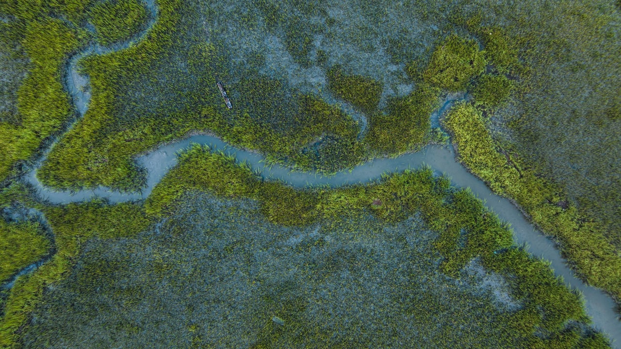
On Johns Island, AE zones usually run along the Stono and Kiawah rivers and the tidal creeks. Higher ground away from the water is often Zone X. But the lines follow the terrain, not street names, so always check the specific address.
How to check a property in 3 steps
What it means for your budget
Flood insurance in an AE zone can add a meaningful amount to your monthly payment, and the price depends on the home's elevation, size and distance to water. A raised home above the flood level often costs much less to insure than one at ground level. In Zone X, many buyers still choose to carry a policy because it's usually affordable and floods don't stop at the map line.
Bottom line
A flood zone isn't automatically a dealbreaker. Plenty of beautiful Johns Island homes are in AE zones and are built high and insured well. You just want to know the zone, the elevation and the insurance cost before you commit.
Looking on Johns Island? Send me any address and I'll check the zone and pull the details for you. Call or text (843) 697-0693.
Sources: FEMA Flood Map Service Center; SELC, June 5, 2023. This is general information, not insurance or legal advice.
Stay up to date on the latest real estate trends.
Partner with Ethan for a seamless and successful real estate experience. Dedicated support from your first search to closing day. Let Ethan guide you toward your next dream home.